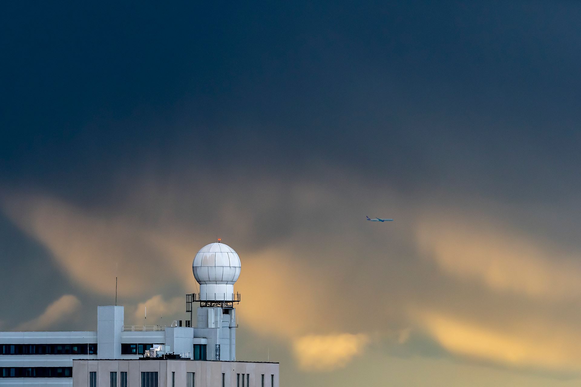
Weather: was the summer of 2021 really so extraordinary?
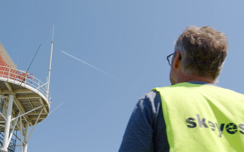
The summer of 2021 is drawing to a close and although the current September month feels like an Indian summer, which is usually accompanied by sun, good weather, vacation, swimming pools, terraces and barbecues with friends, the past months have left a bitter taste to many people and even led to real disasters. Overcast skies, torrential rains, autumnal temperatures and lack of light definitely turned what started off as a beautiful summer into an outright grim season. But was that really the case? Was this summer so extraordinary? What is the potential impact of such conditions on aviation? Wim Bladt, weather expert at skeyes, explains.
Can the weather we experienced this summer be described as exceptional or was it within the norm?
We can't simply state that the summer of 2021 was exceptional. For that, we have to take different parameters into account, such as the considered duration - 1 day, 1 week, 1 month... - and the location. A weather phenomenon can be exceptional for 1 day, but it will be mitigated in the course of 1 month. For example, we can have an extreme temperature during 2 or 3 days, but with an average seasonal value within the norms. The location also plays a role, the weather can be normal at the coast and be exceptional in the Ardenne.
If we consider the summer of 2021 (June to August), we see that not all parameters are far from exceptional. The average temperature was lower than normal, but not to an excessive extent. Similarly, the number of days with thunderstorms remained within the norm.
The summer of 2021 was one of the wettest - and in fact the wettest - ever recorded in Uccle.
On the other hand, one parameter in particular attracted our attention: the amount of precipitation. The summer of 2021 was one of the wettest - and in fact the wettest - ever recorded in Uccle. But here again, there are significant disparities across the country: the provinces of West and East Flanders as well as Antwerp have experienced rainfall amounts within the norm, while other regions have experienced much higher rainfall levels than usual.
14 and 15 July came to mind. Those days had dramatic consequences in our country. The reason was a stationary low-pressure system centred over Germany with a very active frontal system called an “occlusion". An occlusion is a stage in the life cycle of a depression. It is formed when a mass of cold air meets a mass of warm air and the latter is pushed upwards and gets stuck there. It is this “occlusion” that caused the exceptional amounts of precipitation on July 14 over the provinces of Liege, Luxembourg, part of Namur and Hainaut. On 15 July, the occlusion moved towards the centre of the country with significant rainfall in its wake, but less so than the previous day. The part of the country located west of the Dender and the Scheldt rivers (i.e. approximately halfway between Brussels and Ghent) hardly received any precipitation. This shows once again that the weather was not as such exceptional for the whole country. For some places it was, for other places not so much.
Did this weather, which was exceptional in some places, have an impact on air traffic, especially at Liege Airport?
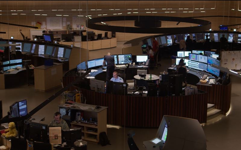
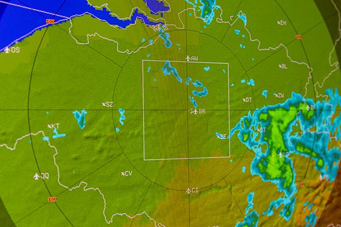
14 and 15 July were indeed special for Liege Airport. In addition to the amount of precipitation, there was very poor visibility and very low cloud cover. These three parameters all have an impact on air traffic. The poor visibility and cloud cover reduce the airport's capacity for commercial aviation, while for general aviation - with visual flights - all activities were impossible for two days. The same goes for helicopters, which had to stay grounded in the area. Sometimes, there is so much precipitation that the water cannot be evacuated from the runways in time.
Reliable weather forecasts are crucial for both airspace users and air traffic controllers who can better anticipate and prepare for these different phenomena.
Why is it so important to have reliable and accurate weather forecasts for aviation safety?
 Many weather parameters can influence aviation safety. First of all, there are thunderstorms, fog, snow, rain, and the height of the cloud cover, but gusts of wind for example can also be dangerous. Besides that, there are also phenomena that the general public is not as familiar with, such as turbulence or frost on the body and wings of aircraft. All these weather data are essential for the safety of air traffic.
But weather forecasts are also important for air traffic efficiency and capacity. Weather is the most influential factor in causing ATFM delays at airports (i.e. delays inherent to air traffic). That is why reliable weather forecasts are crucial for both airspace users and air traffic controllers who can better anticipate and prepare for these different phenomena.
What are the most important weather data for pilots?
For overflight traffic, the most important parameters for pilots are turbulence, icing and thunderstorm prediction as well as the flight levels at which these phenomena occur. For a pilot departing from or landing at a Belgian airport, wind, visibility, cloud cover, air pressure and weather phenomena are the most important. Depending on the type of aircraft, these parameters can have a different influence.
Are there any changes in the atmospheric streams used by aviation, such as the jet stream, as it is suspected for oceanic streams?
The Earth's atmosphere is always looking for an energy balance. To ensure this energy balance, an exchange must take place from the warm atmospheric zones to the colder zones. A jet stream is a strong air flow that meanders on the boundary between the warmer atmospheric zones and the colder ones. Since the temperature differences between these warm and cold zones are more pronounced in winter than in summer, these streams are also stronger during the cold season.
 Global warming can have an influence on Earth’s general energy balance and therefore also on these jet streams. We know that the climate is warming faster at the poles than anywhere else on the planet. This change at the poles means that the difference between warm and cold areas is getting smaller and it is not unthinkable that the jet streams are getting weaker as a result.
In a normal situation, the meanders formed by the jet streams move, but sometimes they remain stationary so that, as a result, some parts of the Earth remain under the influence of warm air and others under the influence of cold air. This is why we record more cold and wet episodes as well as more hot and dry episodes that are spread out over a longer period of time, as a consequence of these "blockages". It is not clear how global warming will affect jet streams and such blockages, but some scientific studies point to these weakened jet streams and increased blockages as a consequence of global warming. This scenario would mean that we would experience more frequently long periods of heat waves and drought, but also long periods of dark, cold and wet weather.