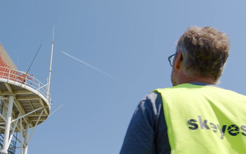
Interview with Erol Cetiner, Meteorologist at skeyes
What weather phenomena are dangerous to aviation?
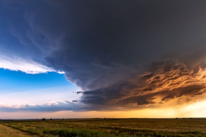
Weather conditions can be very dangerous to aviation. The weather is a determining factor in one accident in five. There are thunderstorms that can cause sudden gusts in the more delicate approach or landing phases. There are also hailstorms that can directly damage the aircraft.
Ice phenomena are other frequent causes of danger. Ice can accumulate on the wing when the aeroplane passes through certain types of cloud under certain conditions; the water, which is at sub-zero temperatures but still in a liquid state, will solidify when it comes into contact with the cabin. This ice can change the aerodynamics of the aircraft and its lift.
There are also turbulence and wind shear phenomena that can upset the aircraft and give the occupants the impression of travelling on an uneven surface. It should also be considered that the smaller the aircraft, the more sensitive it will be to weather conditions. Many of our customers are VFR pilots or balloonists who are sensitive to weather phenomena that would pose no problem to commercial aviation.
How does the weather affect air traffic safety? And what has been its role in the positive development of safety in recent years?
Computers that calculate digital meteorological models are more and more powerful. They assimilate more and more data and make constantly more rapid calculations. The observational instruments, especially remote sensing, are more efficient and the weather data more and more precise in both space and time. We are talking about now casting; these are very short-term forecasts or even immediate. We can locate areas where there is a risk of icing, the presence of turbulence, wind shear phenomena or lightning strikes. It is therefore possible to provide very precise warnings and thereby help ensure both the safety and maintenance of the airport’s capacity.
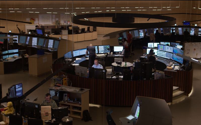
The information provided by the skeyes meteorological service to air traffic controllers, such as the Severe Weather Assessment, which focusses on phenomena that affect the normal progress of a flight, can be used directly by the Traffic Manager to ensure maximum capacity, i.e. to be able to take on as many aircraft as possible under the best safety conditions.
There has also been more coordination and exchange of information between the weather centres in recent years. In Belgium, there is the use of the weather radar of the Royal Meteorological Institute (Institut Royal Météorologique - IRM), but also cooperation with neighbouring countries. In particular, there is the coordination that takes place in drafting messages warning of phenomena dangerous to en route aircraft. For example, reports made by pilots on areas of turbulence are transmitted and disseminated through this exchange network.
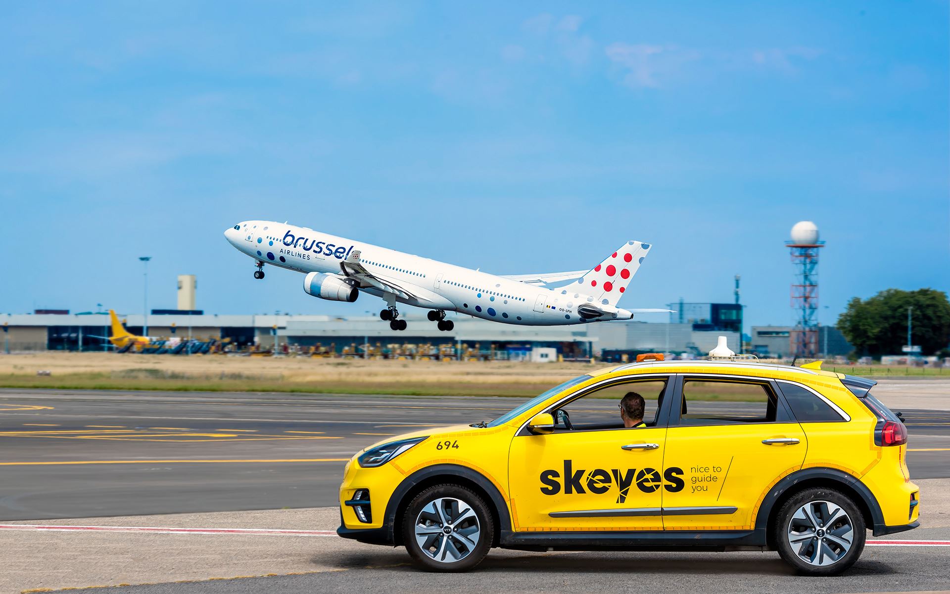
Coordination at local level has also improved with Meteo Meetings that bring together the Weather and Tower Supervisors on duty and a representative of Brussels Airport several times a day to take stock of the weather.
How are weather reports transmitted to our customers?
For general aviation, i.e. non-commercial aviation, this mainly takes place via our AIM-Meteo briefing website where the pilot records his flight plan and can consult a lot of relevant weather information.
For commercial aviation, skeyes prepares flight records incorporating tailor-made flight plan charts that contain data provided by the World Area Forecast Center (WAFC) in London. These charts provide information on winds and temperatures at high altitudes and significant weather phenomena that are of interest to front-line airline pilots. skeyes's flight dossiers are distributed to the handling companies via our web application Handlers briefing.
Another point of interest for airlines are weather phenomena near the airports. The Brussels Met Office or regional offices provide the necessary support to the various customers (airport authorities, airlines, etc.). Pilots can obtain weather information 7 days a week and 24 hours a day by telephone from the skeyes Met Office.
How can you improve weather information in favour of safety?
On a technological level, mode-S is a very exciting trend. Mode–S is a digital information exchange between the secondary radar and the aircraft transponder, which can thus provide a whole series of information and 23 in particular the wind speeds at different altitudes. The aircraft is then used as an instrument for measuring and observing weather phenomena. This way, we can collect this information, which can be disseminated to other users.